
Follow a Chelsea Street by Address
Begin a Chelsea street lookup with the exact building number and street name. The current Chelsea parcel record can identify a situs address, an owner field, map or parcel identifiers, assessment details, and last-sale references. Those are property clues, not a household roster. Keep the situs address separate from the owner mailing address from the first note onward. A mailing contact may be outside Chelsea, may belong to an entity, and does not establish who occupies the building.
Each Chelsea source answers a narrower question. Chelsea assessor and GIS records establish the tax parcel. The deed index documents recorded ownership interests. The City Clerk's annual street list is a dated municipal record. Chelsea library volumes can place adult residents at an address in a historical period. Reading them as one current list would erase the dates and limits that make the records useful.
- Search the exact situs address in the Chelsea assessor or GIS record and note the owner, map parcel ID, fiscal year, last-sale book/page, and Registry ID when shown.
- Use the Chelsea address-point and boundary layers to inspect the parcel and nearby parcels. Preserve the source date because the ArcGIS layer and the current Vision display are separate publications.
- Open the matching recorded instrument for the Chelsea parcel in MassLandRecords. Read the deed's grantor, grantee, recording date, book/page or document number, legal description, and plan reference.
- For a dated municipal resident source, request the relevant annual Chelsea street-list edition from the City Clerk. An individual voter-status search is not a street-enumeration tool.
- When the question reaches the past, compare a library directory or street index with maps, newspapers, and the recorded parcel trail before drawing a conclusion.
The Chelsea real-property data page is the official municipal route for Property Record Cards and fiscal-year material.
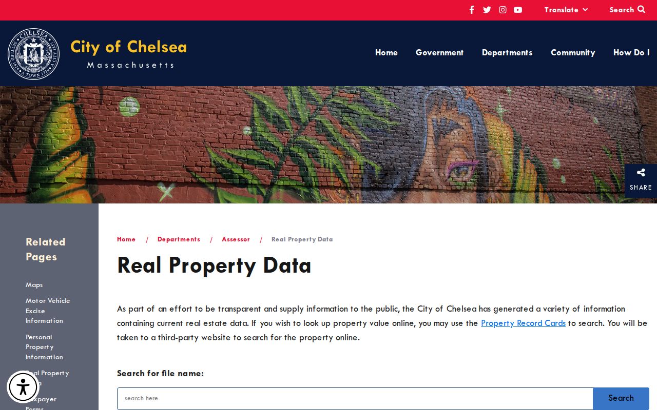
Use that Chelsea office route when the online display leaves a parcel or fiscal-year question unresolved.
Chelsea Street Parcel Fields
The official Chelsea tax-parcel service is the most inspectable Chelsea street-by-street source. It has address points, parcel boundaries, two quality-assurance layers, and CAMA tables. Querying by a full street, address number, or site address can surface a map parcel ID, owner and mailing fields, fiscal year, building facts, values, and last-sale references. The service supports pagination and geometry queries, which is useful when a Chelsea street produces more results than one screen can show.
| Parcel field | Use in a street search | Reading caution |
|---|---|---|
| SITE_ADDR, ADDR_NUM, FULL_STR | Find the Chelsea parcel location and browse a named street. | A historical record may use an earlier address form. |
| MAP_PAR_ID, PROP_ID, CAMA_ID | Keep map and CAMA references tied to the correct parcel. | They are record identifiers, not a person identifier. |
| OWNER1 and OWN_ADDR fields | Record the assessed owner and tax-mailing contact. | Mailing contact and situs can differ. |
| LS_BOOK, LS_PAGE, REG_ID | Bridge from a tax record to a Registry instrument. | Open the deed before treating a sale reference as conclusive. |
| FY, YEAR_BUILT, UNITS, values | Place the tax record in time and describe the parcel. | Tax data is not a resident list. |
The source image from the Chelsea tax-parcel address layer shows the official layer used for a Chelsea address search.
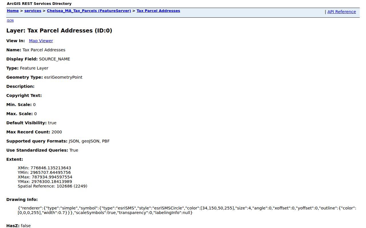
Use the layer to anchor a Chelsea address to a parcel, then retain the field names and fiscal year with any notes.
Chelsea Vision Assessor Records
The Chelsea Vision assessor portal advertises FY2026 values, while the inspected ArcGIS civic sample carried FY2023 data. Treat the as-of year as part of the result. The Vision interface was not machine-readable during the research review, so its exact field labels should not be assumed from the ArcGIS schema. Both sources remain useful, but neither one turns an owner field into proof of present residence.
The Chelsea Vision assessor property search is the current valuation route captured for this address workflow.
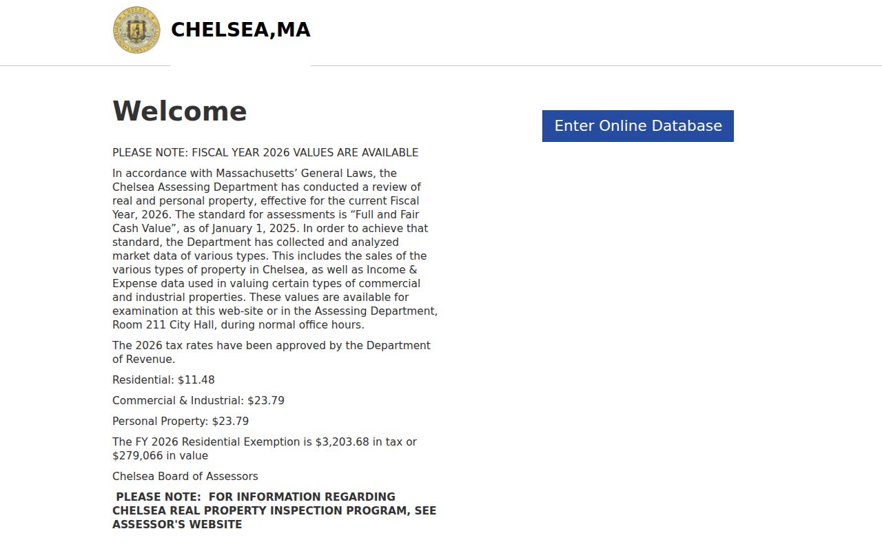
Compare its current Chelsea fiscal-year display with the separate ArcGIS source date before carrying a value or owner field into research notes.
Map Parcels Along a Chelsea Street
For a full street segment, open a selected parcel in Chelsea GIS, keep its boundary visible, and then click adjacent Chelsea address points or polygons. The public service exposes geometry as well as `SITE_ADDR`, `FULL_STR`, `ZIP`, owner mailing fields, and Registry references. Use map extent or address filtering, then paginate rather than copying only the visible first results. A parcel with no matched CAMA record or a rejected feature should stay marked as a gap instead of being filled from an unrelated source.
A Chelsea parcel is a Chelsea tax-administration unit. Its line on the Chelsea assessor map is not a survey or a final legal boundary. Where the exact lot edge matters, compare the Chelsea deed's legal description and any recorded plan. This distinction keeps Chelsea address research useful without overstating what a map graphic proves.
- Parcel
- A tax-map unit used to organize property records. It can link address, value, and sale fields, but it does not identify every person connected with a building.
- Situs address
- The physical location of the parcel. It differs from the tax-mailing address when correspondence goes elsewhere.
- Plat or recorded plan
- A recorded map or plan referenced in land records. It can help connect a legal description to a street, but the deed and plan control over a tax-map drawing.
- Criss-cross directory
- A reverse-style street key. No dedicated Chelsea run was confirmed, so use the documented street index and address entries in city directories instead.
The Chelsea assessor maps explain the tax-map context and direct users to MassGIS resources. Their parcel lines should be read with that survey limitation in mind.
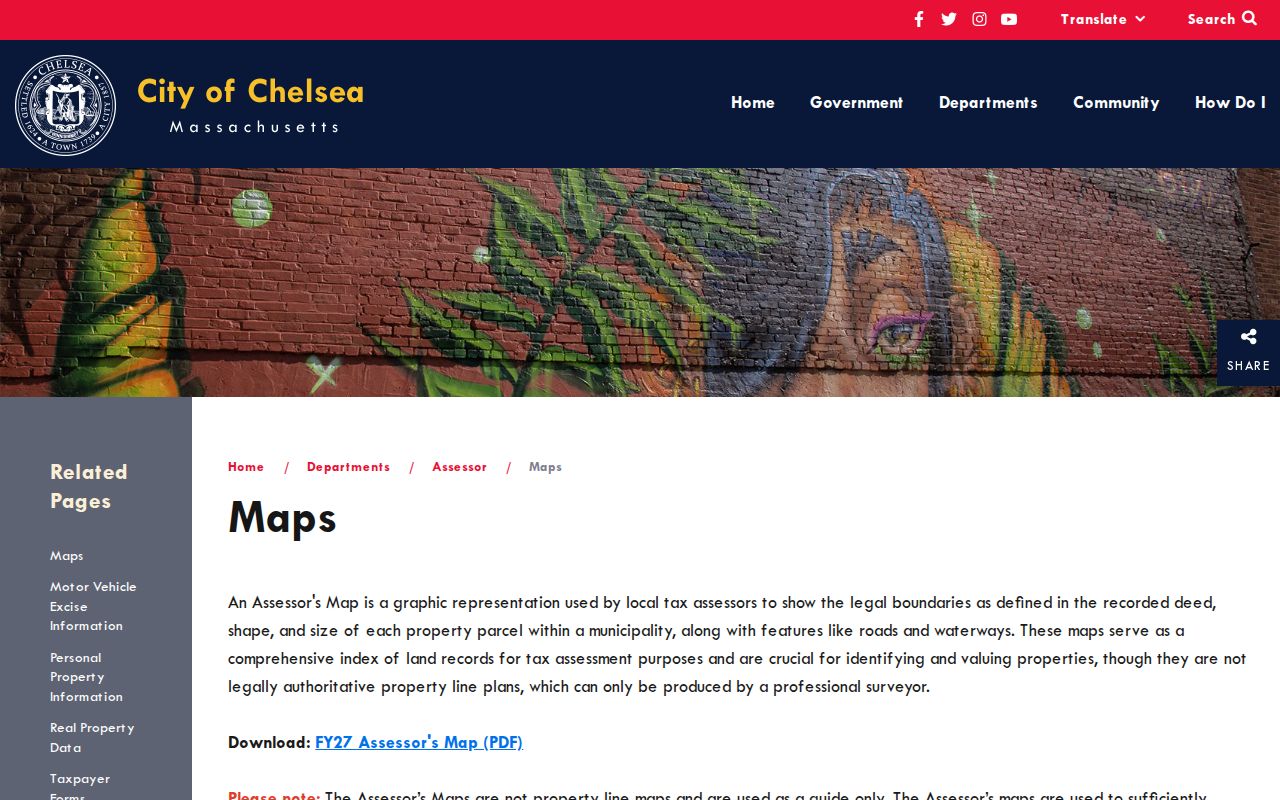
Map review is strongest when the parcel for a Chelsea address, its identifier, and the deed or plan reference all point to the same location.
Chelsea Deed Trail by Address
Once a Chelsea address produces a parcel, the Suffolk MassLandRecords portal supplies the ownership-record route. Select Recorded Land, choose Property Search, then enter the street number and name. An older Chelsea deed or mortgage may lack an address, so a failed property search is a reason to use the owner name, book/page, legal description, plan reference, or the Unindexed Property Search. The Registry separates Recorded Land, Registered Land, and plans because their search controls and coverage are not identical.
Try a hyphenated number as the full number and as its two parts. If the street suffix is uncertain, search the name without it. A numeric-leading condominium name should be searched with the number moved to the end. The online Recorded Land name index begins in 1973, and the Registry says 1970 through 1972 Chelsea material is being verified or reindexed. Book images reach back to Book 194 from 1800, but an image collection is not a complete online name index.
For a gap, use Book Search, the Unindexed Property Search, the applicable 1951-60 grantor/grantee options, or counter research. The Suffolk Registry is at 24 New Chardon Street in Boston; its published phone is 617-788-8575 and email is suffolk.deeds@sec.state.ma.us. Free web searching, viewing, printing, and downloads are distinct from any certified or counter-copy product.
Chelsea Address Records by Street
A Chelsea street name is only the joining point. Chelsea records use different address meanings and different dates, so the source should remain beside the result. Property and deed records are strongest for title and parcel questions. A City Clerk street list is a dated municipal census product. Chelsea permits record work or an application path, not a household. Historical directories place adult entries in their own publication year. The table keeps those roles separate.
| Address record | Custodian | Street evidence | Access route |
|---|---|---|---|
| Assessor and ArcGIS parcel layers | Chelsea Board of Assessors and GIS | Situs, owner/mailing fields, parcel IDs, fiscal data, building and sale references | Vision, GIS, or Assessing Department Room 211 |
| Recorded deeds and plans | Suffolk Registry of Deeds | Parties, instrument, date, book/page, legal description, and plans | MassLandRecords; counter, phone, or email for gaps |
| Annual street list | Chelsea City Clerk | Dated local municipal street-list edition | Request from the Clerk; the listed fee is $15 |
| Permit and code evidence | Chelsea Inspectional Services | Recent work, status, comments, and project evidence for a parcel | OpenGov account workflow; field coverage not confirmed |
| Directories, maps, and newspapers | Chelsea Public Library Historical Archives | Historical adult entries, street context, maps, and notices | Archive room, microfilm, bound/original holdings, and selected digital items |
Start from a property identifier when possible, because it helps avoid a false match on a similar street name. The parcel may lead to a Registry book/page or plan reference; a deed's legal description can then bridge an older address form. For a current municipal record that is unavailable online, the fallback is the responsible Chelsea office, not a guessed result.
Note: A clean source ledger keeps the situs address, mailing address, fiscal year, directory year, and source date in separate columns.
Chelsea Permit Records by Address
Permits can date an alteration, inspection, occupancy event, or demolition-related project at an address. The Chelsea online permitting page directs building and inspection work to OpenGov. Registered users can apply, upload plans and specifications, see status and department comments, and track recent parcel history. The public landing page did not provide a confirmed anonymous search-field list or an established historical coverage start, so a missing web result is not evidence that no work occurred.
Chelsea's service transition makes department routing important. The research found OpenGov for the current building and inspection route, while Licensing and Public Works were reported as moving through a Citizenserve transition. Check the department before relying on a portal name. A permit applicant, contractor, or tax-mailing contact should not be relabeled as a resident.
The official online permitting entry point is shown below as a Chelsea address-record source.
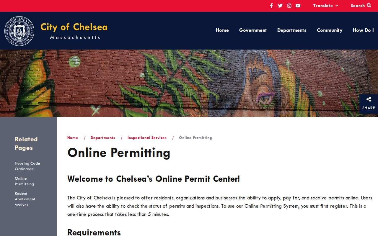
Use a permit date as a lead for property research, then confirm land ownership through the assessor and Registry records.
Chelsea Street Lists Are Dated Records
Chelsea's annual census and street-list process is the local resident layer, but it is not a live street-search database. The City Clerk says the annual Street List of Residents is available for $15. Ask for the relevant edition year and delivery or inspection format. The annual census form includes dwelling, ward or precinct, telephone, an unlisted indicator, and resident-validation fields, yet the full list remains a request or counter product rather than an unrestricted website search.
Massachusetts voter status search is different. It requires a first name, last name, date of birth, five-digit residential ZIP, and an attestation. It is intended for checking one person's status, not for listing a Chelsea block. M.G.L. c.51 §47C says central-registry names and addresses are not general public records, and protected voters and Address Confidentiality Program participants must not be reconstructed from parcel data.
The Chelsea census and street-list route documents the annual municipal process and the street-list fee.
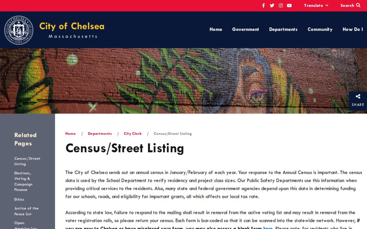
The image supports a dated request route, not a claim that the list can reveal every current household on a street.
Chelsea Historic Street Records
For an address from an earlier era, Chelsea Public Library's Historical Archives supplies city directories, maps, atlases, newspapers, and local records. Original city directories run from 1847 to 1995, while microfilm covers 1847 to 1933. A dedicated local reverse-directory run was not located. Instead, test surname entries, the street index or address entries in the available volume, directory abbreviations, and adjacent addresses. Recheck OCR against the page image because names and numbers can be misread.
The archive also holds atlases from 1874, 1886, 1896, 1911, and 1914, city maps from 1943 through 1986, and local newspapers. The 1894 Library of Congress Sanborn map has 38 Chelsea sheets and supplies building, lot, and use context rather than an occupant list. For older properties, compare directories, a map, a newspaper item, and a legal description instead of assuming modern numbering always carries backward.
Chelsea fires in 1908 and 1973 and later redevelopment can interrupt address continuity. No official citywide renumbering or renaming list was found. Search by the old street name, adjoining cross streets, map/lot, recorded plan, and legal description before deciding a Chelsea address has disappeared.
Note: Include “Chelsea, Suffolk County, Massachusetts” in archive searches to avoid records for other places named Chelsea.
Chelsea Street Boundary Check
Address work near the city edge needs a postal check as well as a map check. Chelsea's standard USPS ZIP is 02150, but ZIP geography is not the city boundary. MassGIS records a Chelsea-Everett municipal-boundary modification near Beacham Street. The postal label, parcel municipality, and legal boundary can therefore answer different questions, especially when an owner mailing address is elsewhere.
Run the complete street address through the USPS ZIP lookup, then compare its return with the ArcGIS `ZIP` field and any owner mailing ZIP. Preserve a disagreement until the delivery-point convention, ZIP+4, stale tax record, or municipal edge can be resolved. Do not use a ZIP result to draw a legal city line.
Limits of Chelsea Address Records
Address-keyed records cannot identify every person at a building. A parcel can name an assessed owner, trust, business, or public body. A mailing address is only a correspondence field. Permit contacts and deed parties have their own roles. Current non-owner household members, utility customers, delivery addresses, protected voters, DMV records, and private association rosters are not a public address directory.
Use Chelsea sources for family history, estate research, property context, civic transparency, or a careful address verification. If a Chelsea portal fails, ask the Registry, City Clerk, Assessor, GIS administrator, or library for the documented request path. The Massachusetts Public Records Law, M.G.L. c.66 §10, allows a request to the responsible custodian, subject to exemptions in M.G.L. c.4 §7(26).
Lawful use. Use Chelsea address records only for lawful personal, family-history, property, or civic research. Do not use any record to stalk, harass, or harm another person.