
Chelsea ZIP Code Coverage
Official USPS material identifies one standard ZIP for Chelsea delivery addresses: 02150. That makes the Chelsea ZIP code directory compact, but it does not turn the ZIP into a neighborhood map. USPS assigns ZIPs to delivery points, while Chelsea city limits, assessor parcels, wards, and deed descriptions follow different systems. A record search should retain the exact address and source date beside the ZIP, especially when comparing a parcel record with a historical directory or a mailing address.
| ZIP | Delivery coverage | Postal location | Research note |
|---|---|---|---|
| 02150 | Chelsea delivery addresses, using the USPS city label CHELSEA MA | Chelsea Post Office, 320 Broadway; Carrier Annex, 307 Beacham Street | Standard ZIP, not a municipal-boundary line. Check the specific address with USPS. |
The Chelsea Post Office listing gives the 320 Broadway location as 02150-9991, while the Carrier Annex listing uses 02150-9998. Those are location-specific ZIP+4 examples, not extra Chelsea ZIPs. The official source review found no separate standard, PO-box-only, or unique-institution ZIP serving a Chelsea street. Chelsea’s state community snapshot reports 17,339 people in 2.2 square miles, which helps explain why one delivery ZIP can be a useful starting filter without serving as a block-level directory. Preserve that limited result instead of filling a table with unverified codes.
The USPS Chelsea Post Office reference shows the postal location used for the Chelsea ZIP code directory.
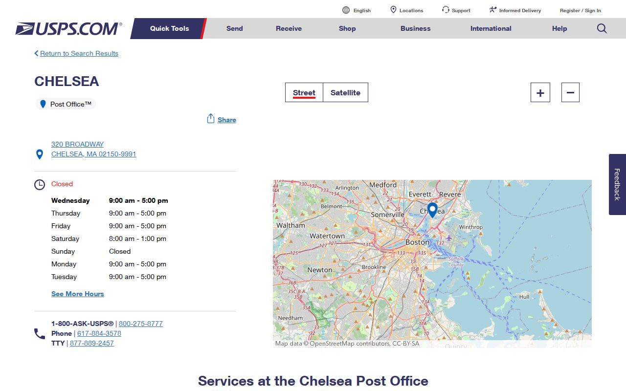
Use a postal location listing for delivery details, then confirm the address itself before treating 02150 as a Chelsea search filter.
Check Chelsea ZIP Codes First
The USPS ZIP Code Lookup is the final check for a Chelsea deliverable address. Enter the street number, street name, city, and state as they are currently used. This is more reliable than drawing a ZIP boundary from a web map. If the address is old, compare its street suffix, former name, cross streets, map or lot reference, and recorded plan before deciding it is a postal mismatch.
USPS delivery geography is deliberately narrower than a general map. A postal result can settle the mail label without proving the municipal jurisdiction, legal description, ward, or current occupant. Keep those questions in their own records. The Carrier Annex offers carrier, general-delivery, and online PO-box services, but the source review did not identify a separate PO-box-only ZIP for Chelsea street addresses.
The USPS address-to-ZIP tool is the right starting point when a Chelsea ZIP code directory search begins with one exact address.
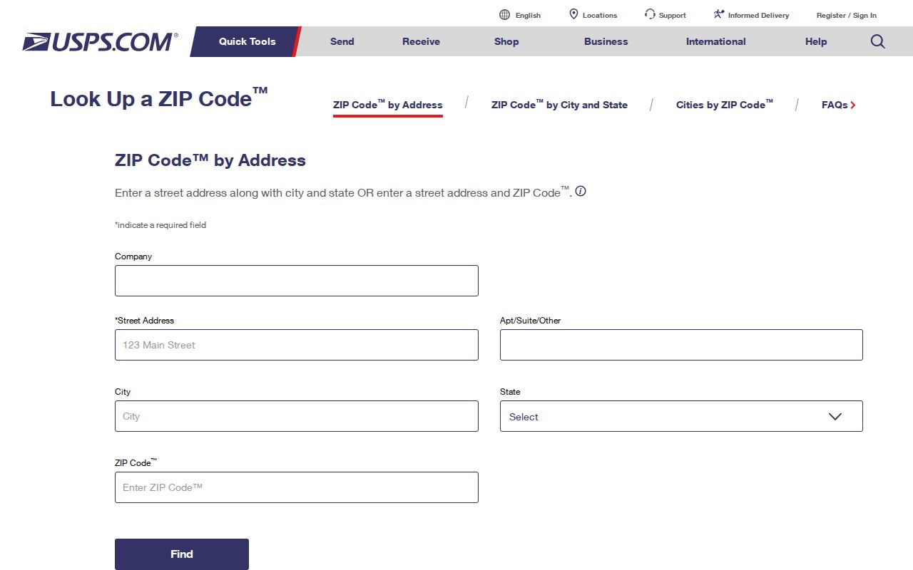
A returned ZIP is a delivery result, so record the full address used in the query before comparing it with Chelsea property or historical sources.
Chelsea GIS ZIP Fields
The official Chelsea tax-parcel address layer is the documented ZIP-capable record source. Its public schema has an address, city, and ZIP field alongside parcel, owner-mailing, fiscal-year, sale, and Registry references. Querying ZIP 02150 can locate parcel records, but the service has a 2,000-result maximum. Use an address or map extent to narrow a large request, then preserve the layer date and fiscal year.
| ArcGIS field | Use in a ZIP search |
|---|---|
| ZIP | Queries parcel records by the parcel locality ZIP. |
| SITE_ADDR, ADDR_NUM, FULL_STR | Checks the parcel situs, the physical parcel address. |
| CITY | Preserves the locality field rather than inferring it from ZIP alone. |
| OWNER1, OWN_ADDR, OWN_CITY, OWN_ZIP | Separates the owner and mailing contact from the parcel location. |
| MAP_PAR_ID, CAMA_ID, LS_BOOK, LS_PAGE, REG_ID | Connects a parcel to map, assessment, last-sale, and Registry research. |
MassGIS five-digit ZIP material gives regional context, yet its cautions matter here. The ZIP polygons are not parcel-aligned, are revised, and are not official USPS boundary maps. The ArcGIS sample was FY2023, while the Chelsea Vision assessor portal advertises FY2026 values. Treat those as two dated publication systems, not interchangeable evidence.
The MassGIS ZIP geography reference illustrates why a Chelsea ZIP code directory needs parcel and delivery sources beside any map view.
The ZIP polygon is a discovery aid. The USPS result and parcel record remain the better evidence for one Chelsea address.
Note: The ArcGIS sample is FY2023 while Vision advertises FY2026 values, so identify the dated system behind each ZIP result.
Search a Chelsea ZIP Code
A Chelsea ZIP search works best as a narrowing step, not a list of everyone connected with an area. The parcel layer can query its ZIP field, and each resulting row should keep the situs, owner mailing fields, fiscal year, and parcel identifier distinct. For a dated Chelsea municipal resident record, Chelsea’s City Clerk provides an annual street list for $15. The state voter form instead checks one person’s status with a name, date of birth, and five-digit residential ZIP.
- Confirm the exact delivery address in the Chelsea USPS lookup and record the returned ZIP.
- Query the official Chelsea parcel address layer by ZIP, then narrow with a street or map extent when needed.
- Open the parcel row and label the situs, owner mailing address, fiscal year, and map parcel ID separately.
- Use the Chelsea annual census and street-list route for a dated municipal edition, or the Massachusetts voter status search only for its individual-status purpose.
The state form requires first name, last name, month, day, year of birth, residential ZIP, and an agreement checkbox. It is not a ZIP-wide public roll. Suffolk MassLandRecords uses town and street or address fields rather than an advertised ZIP-wide search. Once a ZIP has narrowed a parcel area, the Chelsea street directory provides the fuller address-by-address record trail.
The Chelsea elections and precinct information shows the local route to election materials and maps.
Election and precinct sources add civic context, while the USPS tool and parcel layer remain the ZIP-specific checks.
Note: Keep a source date beside each Chelsea ZIP code result because postal, assessment, and dated street-list records update on different schedules.
Chelsea ZIPs and Civic Geography
Chelsea ZIP geography and Chelsea civic geography answer different questions. Chelsea’s ward and precinct materials identify voting geography, while the postal ZIP identifies delivery routing. Chelsea elections information links residents to local election records, maps, and the state registration tools. It should not be read as a ZIP-to-precinct conversion chart.
This distinction matters near the city edge. MassGIS records a Chelsea-Everett municipal-boundary modification near Beacham Street of as much as about 125 feet, based on parcels and plans. The official USPS label list separately recognizes 02150 Chelsea, 02149 Everett, and 02151 Revere, but a city name in a mailing address does not decide a legal city line. No official address-by-address table or historical ZIP realignment year was found for the edge.
The MassGIS municipal-boundary data is the appropriate reference for the Chelsea-Everett context.
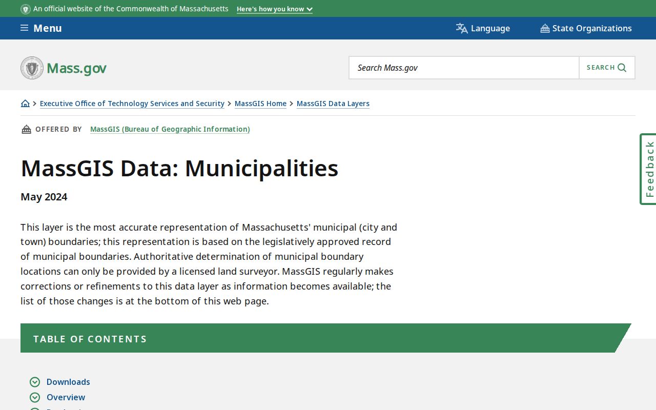
For a Chelsea edge address, retain the USPS delivery result and the municipal parcel source as separate findings rather than forcing them into one boundary.
Chelsea ZIP Address Terms
Postal and property terms can look alike while describing different things. The Chelsea assessor and GIS use a situs address for the parcel location, whereas owner fields can use a mailing address outside Chelsea. A recorded deed may rely on a lot, plan, or legal description that survives a street-number change. The USPS result describes deliverability. Keeping these labels separate prevents a mailing city from being reported as the parcel city.
- ZIP code
- A five-digit USPS delivery-routing code, not a property boundary or city-limit ruling.
- ZIP+4
- An added four digits that refine delivery for a location or address segment.
- PO-box ZIP
- A ZIP assigned for post-office boxes; no separate Chelsea street-serving code was verified in the official source set.
- Unique ZIP
- A ZIP assigned to one organization or institution; none was verified for Chelsea street delivery.
- Carrier route
- A postal delivery sequence used for mail operations, not a resident or civic district.
The Chelsea Carrier Annex reference documents the local postal facility and its ZIP+4 example.
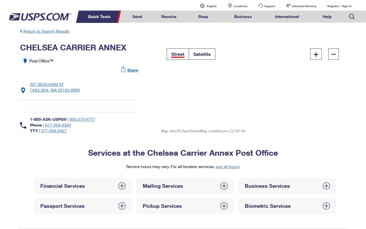
A facility ZIP+4 identifies the postal location, while the Chelsea USPS address lookup remains the check for a specific delivery point.
Chelsea ZIP Code History Checks
Older address research needs more than the current ZIP. City directories use the street and numbering conventions printed in their year, and deeds may use a lot, plan, or legal description instead of the current mailing address. No authoritative citywide Chelsea street-renumbering or renaming list was located. When an older entry fails, test the street suffix, a former street name, adjoining cross streets, map or lot fields, and the recorded plan before treating the address as a dead end.
Chelsea’s 1908 and 1973 fires and later redevelopment make date control important. Pair a directory or newspaper date with a map sheet, parcel identifier, or deed reference. For a historical house question, the ZIP belongs in the modern address note, not in the claim about an older resident or building. This preserves a useful ZIP search without letting a current delivery label overwrite the historical record.
Note: Keep the modern ZIP separate from a historical address citation unless the dated source itself prints that postal information.
Chelsea ZIP Code Limits
A ZIP code directory can help locate a Chelsea parcel, a postal address, or a dated municipal list. It cannot establish that a particular Chelsea person currently lives at a parcel. Parcel ownership, owner mailing information, voter status, permit contacts, and historical directory entries each have their own scope and date. The public parcel layer also contains unjoined and rejected-feature layers, so a missing result may be a data-quality issue rather than a conclusion about an address.
When a needed public record is absent online, use the responsible custodian rather than a guessed substitute. The Assessor offers an office fallback, the City Clerk can advise on the annual street-list edition, the Registry of Deeds can resolve recorded-land questions, and the library holds historical directories and maps. A written request under the Massachusetts Public Records Law, M.G.L. c.66 §10, should identify the record class, year, address, and preferred format. Protected addresses and confidential voter records should not be reconstructed from a ZIP or an apparent gap.
Use ZIP results carefully. Keep Chelsea address research lawful and limited to the record needed; do not use public data to stalk, harass, or harm anyone.